 MENU
MENU
 MENU
MENU

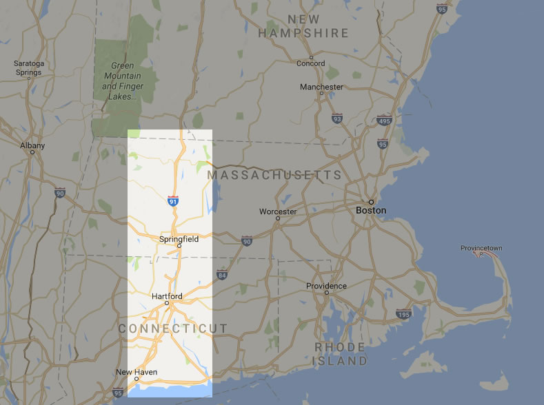
Our story takes place in the Connecticut River Valley of western Massachusetts, from the Vermont and New Hampshire borders in the north and the Connecticut coastline on Long Island Sound to the south.
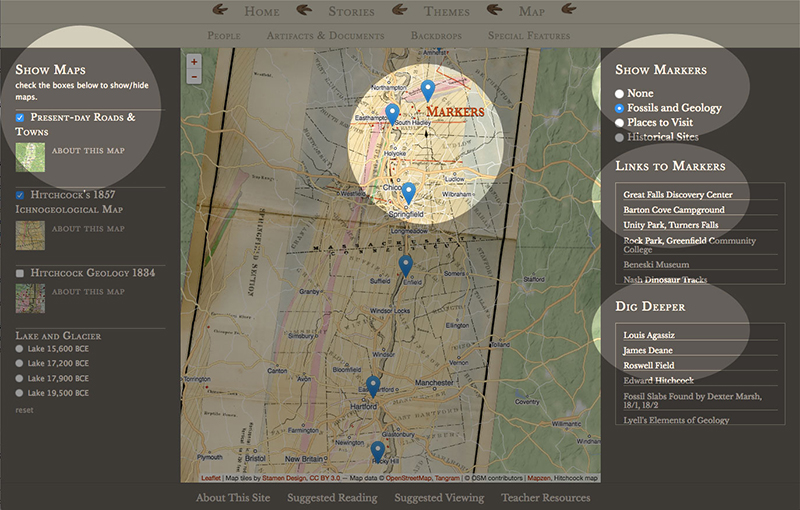
The interactive map lets you geographically explore the history and science of dinosaur footprints and geology of the Connecticut River Valley. The map has four primary layers which you can look at individually, or stack them so you can see, for example, how the town of Amherst relates geographically to Lake Hitchcock
Check-boxes to the left of the map let you choose what map layers to see, one at a time or stacked one on top of the other to show historical and geological relationships. The map layers are Present-day Roads & Towns, Hitchcock's 1857 Ichnological Map, which shows where he found "fossil bird" (a.k.a. dinosaur) footprints, Hitchcock's 1834 Geological Map, and Lake & Glacier, which shows the last glacier to cover this region and the lake that formed as the glacier melted, Lake Hitchcock. (Lake Hitchcock drained out thousands of years ago, so don't expect to swim there!)
There are three categories of map markers: Fossils & Geology, Places to Visit, and Historical Sites. Selecting a category will plot the relevant markers on the map. Fossils & Geology has outdoor sites and museums with rocks and fossils. Places to Visit includes museums, parks, and indoor or outdoor entertainment venues relevant to the historical stories told on this website. Historical Sites show where some of the events in the stories took place. Some of these are "drive-bys" on private property, such as the house in which the Hitchcocks lived in Amherst. Others, such as old quarries, can be visited.

There are three categories of map markers: "Fossils & Geology" sites, "Places to Visit" and "Historical Sites". Selecting one of these radio buttons will plot the relevant markers on the map.
You can find more information about a site in two ways. Clicking a marker on the map opens a window with information for that site. Clicking a site in the Links to Markers box to the right of the map will center the map on the chosen marker and open that same window.
This is your chance to find out more about the site you are interested in. For example, if you want to learn more about Clay Hill, which mentions Dexter Marsh finding fossil footprints there, click on Dexter Marsh for a brief biography of this remarkable man.